
When a head of state turns a map into a message, the image does more than provoke; it leverages cartography’s unique power to claim, redefine, and dominate attention without a single line of statutory text. That is why Trump’s annexation-style North America maps triggered not just social-media derision but on-record pushback from Canada and Mexico—and why this genre keeps returning as a deliberate political tool rather than a policy blueprint.
The Short Version
- Trump shared images depicting Canada (and, in some iterations, other neighbors) as part of the United States, sparking broad backlash and official rebukes.
- Critics read the posts as “unhinged”; supporters frame them as symbolic signaling rather than literal policy.
- Canadian and Mexican leaders responded publicly, treating the graphics as diplomatic provocations rather than ignorable memes.
- The maps fit a recurring pattern—renamings like “Lake America” and border-redraw fantasies—optimized to command attention and frame power without process.
What Happened: The Artifact That Drove the Fight
The core event is concrete: President Trump posted images that visually folded Canada into the United States, including versions with the American flag draped over the Canadian landmass and a North America outline labeled “United States.” The images spread quickly and drew derision as “unhinged” or absurd, while a slice of his base applauded the provocation. These are not stray anecdotes; multiple outlets independently described two such Canada-as-U.S. graphics circulating from Trump’s account and feeding a predictable viral cycle.
The reaction did not stay online. Canadian officials and political leaders publicly dismissed the implied annexation as impossible and combative, language that effectively elevated the post into a diplomatic irritant rather than a throwaway gag. Statements attributed to senior figures emphasized resolve—variations on “Canada will never be the 51st state”—and condemned the posture as a misread of Canadian strength and sovereignty. South of the border, Mexico’s leadership met a separate “Gulf of America” framing with historical counter-mapping—brandishing an old “Mexican America” map to underline that cartographic theatrics cut both ways.
How Symbolic Maps Work: Power Claims Without Paperwork
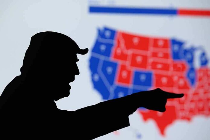
Maps do something text rarely achieves at a glance: they naturalize a claim. Color a neighbor as “us,” change a toponym, or drape a flag over territory, and you invite viewers to process the assertion as already-real. Political actors have long exploited this psychological shortcut. Trump’s posts sit squarely in that tradition—image-first messages that collapse complex legalities into a single, legible picture of power. Scholars of cartography and media have repeatedly warned that such images, even when unserious on policy, reorganize the conversation around the issuer’s preferred frame: borders are artificial; renaming is executive prerogative; expansion is imaginable. That framing, not statutory language, is the payload.
The method also exploits platform dynamics. A striking map travels farther and faster than a paragraph, is endlessly screenshottable, and survives decontextualization. That stickiness makes it ideal for attention-maximizing politics: critics amplify the image as evidence of recklessness; supporters circulate it as swagger. Either way, the original poster wins oxygen. This is why variations proliferate—“Lake America” for Lake Ontario, a “New America” swipe at New Mexico—each one a small cartographic coup staged for the feed rather than the Federal Register.
Competing Readings: Satire, Signal, or Seriousness?
Two interpretations dominate. The first reads these maps as unserious bravado—symbolic acts meant to needle opponents, rally a base that admires transgressive showmanship, and signal toughness on borders without committing to legal steps. Several accounts, including live reporting and commentary, have explicitly framed the images as symbolic gestures or AI-augmented composites rather than policy texts. Supporters lean into the “tongue-in-cheek, but message delivered” defense: the goal is to communicate primacy and dissatisfaction with the status quo, not to table an annexation bill.
The second interpretation—particularly among U.S. allies—is that symbolism from a sitting president is not neutral. Even if not a prelude to annexation, it shifts diplomatic atmospherics, normalizes maximalist rhetoric, and complicates allied politics at home. Canada’s responses and Mexico’s countermoves illustrate that leaders cannot treat presidential maps as harmless whimsy; they must rebut them to avoid conceding narrative ground. Newsweek’s summary of Canadian pushback captured this posture: categorical rejection framed as defense of sovereignty, not content moderation.
Why This Keeps Happening: The Strategic Incentives
From the White House vantage, the calculus is straightforward. A map-post delivers multiple wins at low cost. It:
– Projects dominance in a single glance; no thread, no footnotes.
– Forces adversaries and media to react, reliably extending the news cycle.
– Recasts disputes about process (trade spats, border enforcement, naming rules) into disputes about will—who dares to define the world on their terms.
– Creates a “heads I win, tails you lose” attention structure: outrage amplifies the post, acceptance validates it.
That logic explains the recurrence across contexts—from North America borders to toponym stunts like “Lake America.” Each episode functions as a referendum on authority rather than a technocratic proposal, which is precisely why platform outrage is not a bug but a feature.
Separating Theater from Policy: What Actually Changes
Symbolic maps do not redraw borders; treaties, constitutions, and domestic law do. The most consequential practical spillovers tend to be reputational and bureaucratic rather than territorial. In some cases, however, executive naming directives can ripple into official U.S. systems—federal maps, agency style guides, and government data schemas—because those domains sit under executive branch control. That is why tech platforms sometimes mirror governmental names while others resist or delay; compliance hinges on institutional policy, jurisdiction, and commercial risk tolerance.
By contrast, annexation claims over allied democracies trigger immediate hard limits. Canada and Mexico are sovereign states with their own constitutional orders, treaty rights, and political incentives to reject even playful encroachments. Their on-record responses after Trump’s posts underscored that bright line—mockery and defiance are both diplomatic tools, and each was deployed to keep symbolic claims from acquiring the patina of normalcy.
🚨 New Mexico Dems are losing their minds because Trump posted a map crossing out “Mexico” and writing “America.”
Gov Lujan Grisham: “the name isn’t up for debate.”
Rep Stansbury: “Oh hell no.”He can’t legally rename a state.
He can troll the people who treat “Mexico” in the… pic.twitter.com/wywjXw3zul— Gina Beana Fofina (@Ginasassyass) September 7, 2026
How to Read the Next Map: A Practical Literacy Guide
When the next viral map drops, three questions sharpen your analysis. First, provenance: is the image verified to have been posted by the principal, and in what exact form? Secondary write-ups are helpful but imperfect proxies; when possible, seek a platform capture or a reputable live report anchoring the artifact. Second, domain of effect: is the claim about naming inside U.S. bureaucratic control, or about sovereignty that would require treaties and legislative action? The former can move through executive channels; the latter cannot. Third, reception by counterparts: are allies ignoring, mocking, or formally rebutting? Official rebuttals, as we saw from Canada and Mexico, convert a meme into a diplomatic episode and help forecast downstream friction in trade, security cooperation, or public opinion.
Sources:
mediaite.com, ladbible.com, thehill.com, yahoo.com, nytimes.com, inkl.com, newsweek.com, indiatoday.in, wsj.com, sts.cornell.edu, politico.com, axios.com
© conservativefreepress.com 2026. All rights reserved.